Loading...

Trails in Moab, Utah

Browse 39 hiking trails with 18 miles (29 km) to hike and explore in Moab, Utah. Use our trail maps, elevation charts, pictures, and get directions to the trailhead to plan your next hike!
Trails in UtahTrails near Moab, Utah
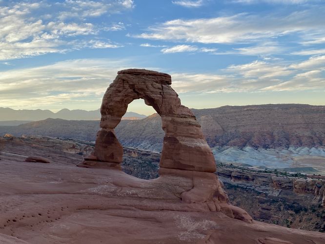
Delicate Arch Trail
3.2 Miles
5.1 km
Moderate
Out-and-Back
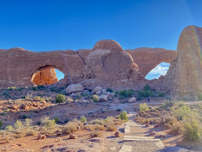
The Windows Trail
1.2 Miles
1.9 km
Easy
Loop
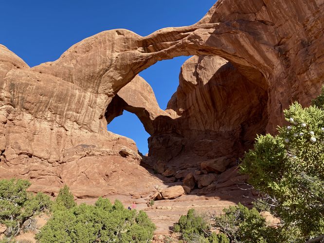
Double Arch Trail
0.5 Miles
0.8 km
Easy
Out-and-Back
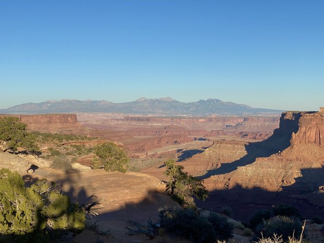
Garden of Eden Overlook
0.2 Miles
0.3 km
Easy
Out-and-Back
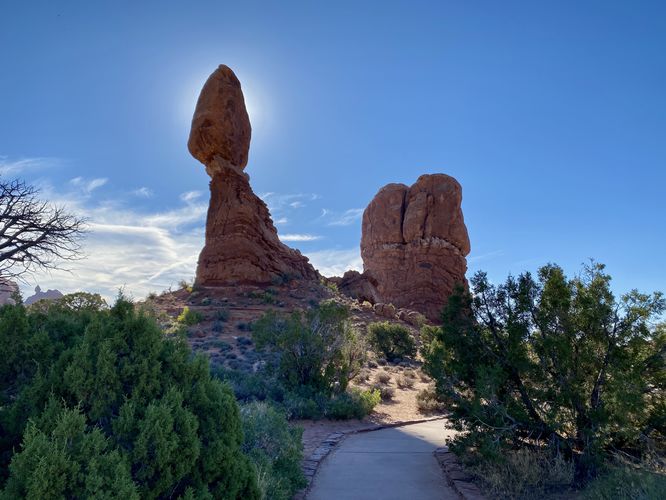
Balanced Rock Trail
0.3 Miles
0.5 km
Easy
Loop
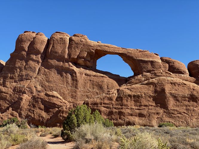
Skyline Arch Trail
0.4 Miles
0.6 km
Easy
Out-and-Back
Salt Valley Overlook
0.1 Miles
0.2 km
Easy
Out-and-Back
Panorama Point Overlook
0.1 Miles
0.2 km
Easy
Loop
Petrified Dunes Viewpoint
0 Miles
0 km
Easy
Out-and-Back
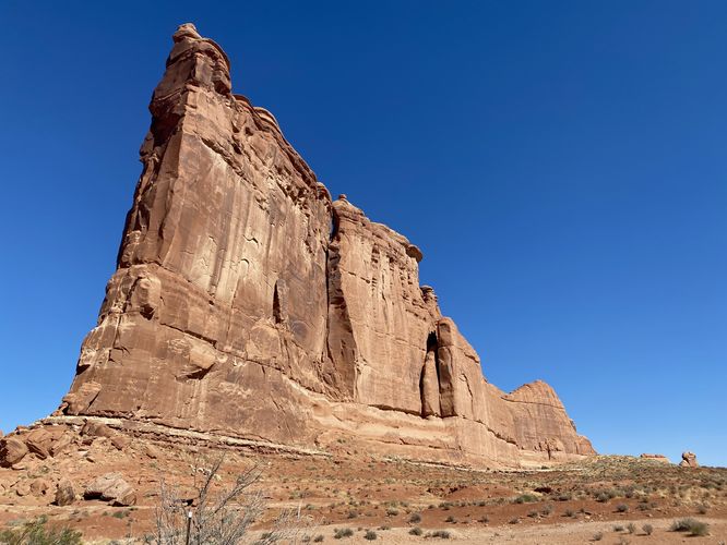
Tower of Babel
0 Miles
0 km
Easy
One-Way
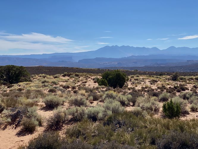
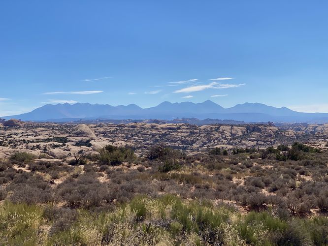
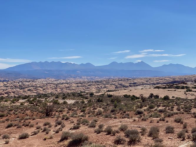
La Sal Mountains Viewpoint
0.1 Miles
0.2 km
Easy
Out-and-Back
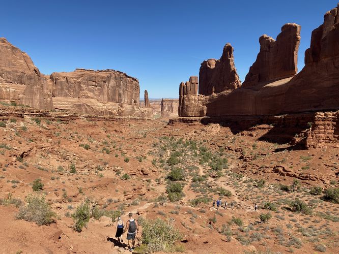
Park Avenue Viewpoint
0.2 Miles
0.3 km
Easy
Out-and-Back
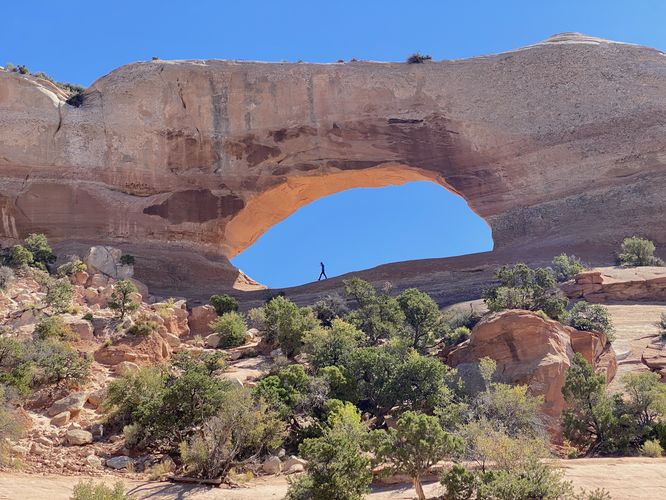
Wilson Arch Trail
0.1 Miles
0.2 km
Easy
Out-and-Back
Roadside Ruin Trail
0.3 Miles
0.5 km
Easy
Loop
Cave Spring Trail
0.6 Miles
1 km
Easy
Loop
Wooden Shoe Arch Overlook
0 Miles
0 km
Easy
Out-and-Back
Big Spring Canyon Overlook Trail
0.3 Miles
0.5 km
Easy
Out-and-Back
Cache Valley Overlook
0 Miles
0 km
Easy
One-Way
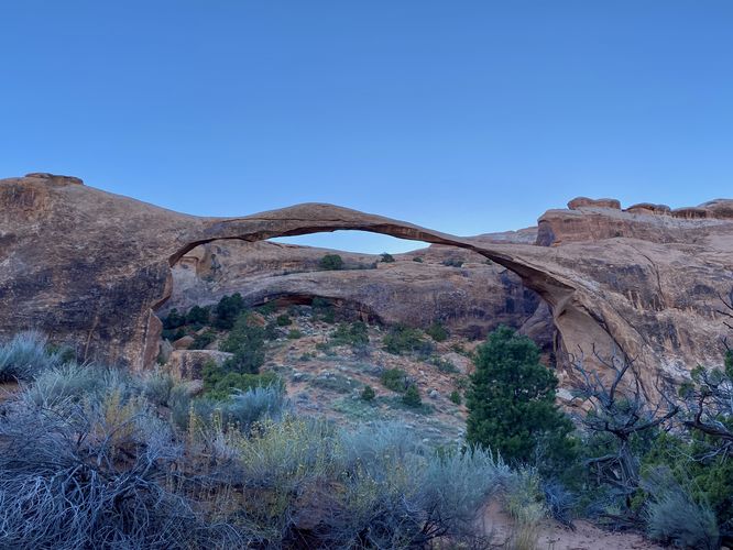
Pine Tree, Tunnel, & Landscape Arches Hike
2.3 Miles
3.7 km
Easy
Out-and-Back
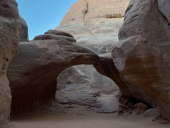
Sand Dune & Broken Arches Hike
1.5 Miles
2.4 km
Easy
Out-and-Back
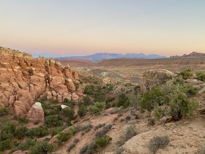
Fiery Furnace Viewpoint Trail
0.2 Miles
0.3 km
Easy
Out-and-Back
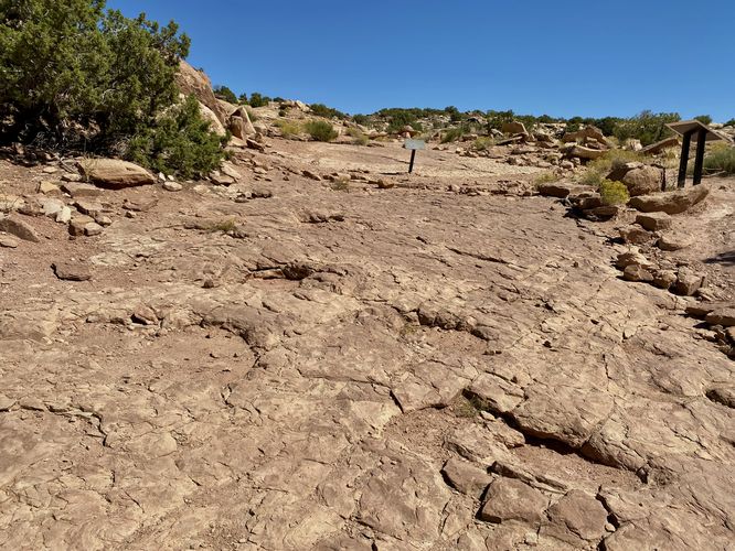
Copper Ridge Dinosaur Tracks Hike
0.3 Miles
0.5 km
Moderate
Out-and-Back
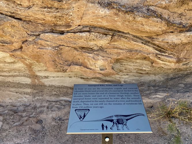
Mill Canyon Dinosaur Bone Trail
0.3 Miles
0.5 km
Easy
Loop
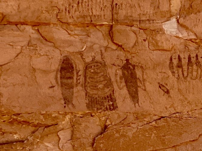
Intestine Man Petroglyphs
0.1 Miles
0.2 km
Easy
Loop
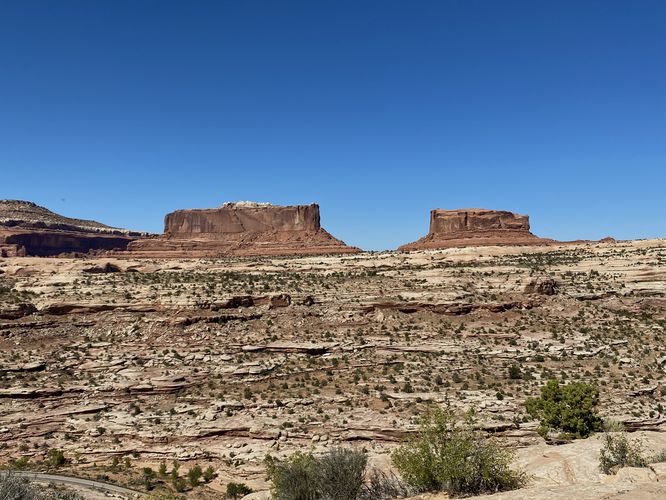
Monitor and Merrimac Viewpoint
0.2 Miles
0.3 km
Easy
Out-and-Back
Lone Mesa Viewpoint
0 Miles
0 km
Easy
Out-and-Back
Plateau Viewpoint
0.1 Miles
0.2 km
Easy
Out-and-Back
Dead Horse Point Loop
0.3 Miles
0.5 km
Easy
Loop
West Rim Overlook
0.1 Miles
0.2 km
Easy
Out-and-Back
Buck Canyon Overlook
0.1 Miles
0.2 km
Easy
Out-and-Back
Orange Cliffs Overlook
0.1 Miles
0.2 km
Easy
Out-and-Back
Grand View Point Trail
2 Miles
3.2 km
Easy
Out-and-Back
Shafer Trail Viewpoint
0.1 Miles
0.2 km
Easy
Out-and-Back
Island in the Sky Overlook
0.1 Miles
0.2 km
Easy
Out-and-Back
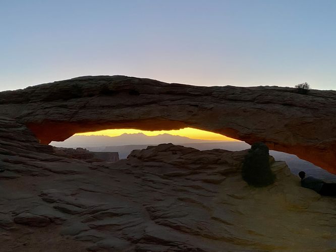
Mesa Arch Trail
0.7 Miles
1.1 km
Easy
Loop
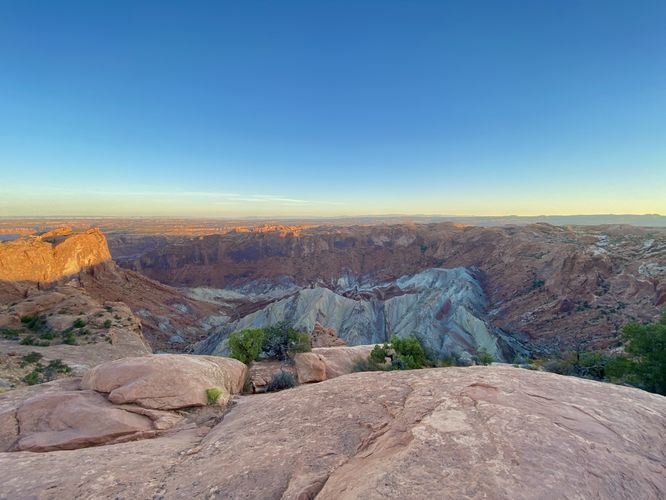
Upheaval Dome Trail
1.4 Miles
2.3 km
Moderate
Out-and-Back
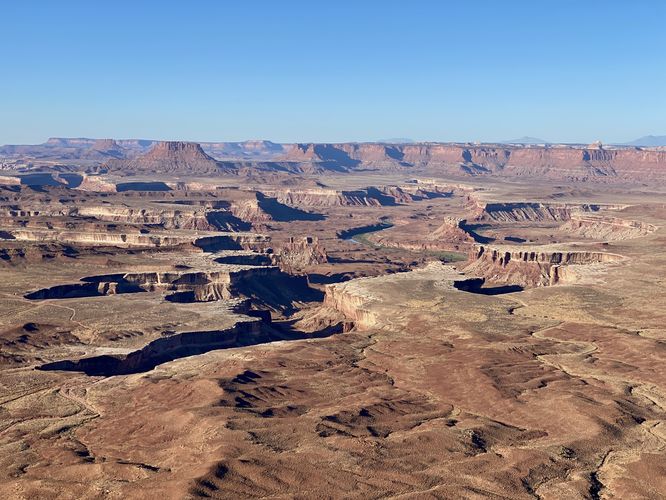
Green River Overlook
0.2 Miles
0.3 km
Easy
Out-and-Back
Candlestick Tower Overlook
0.1 Miles
0.2 km
Easy
Out-and-Back
Shafer Canyon Overlook Trail
0.3 Miles
0.5 km
Easy
Out-and-Back
Loading...

Before you leave...

MyHikes is an indie web platform aimed to make exploring public trails easier for everyone. The site has no investors and is owned and operated by one person, Dave Miller (Founder & Admin). As the Founder, main contributor, and doer-of-all-things for MyHikes, I share my trips with over-detailed write-ups for fun on a volunteer basis and I believe that public trail information should be available to everyone.

It takes a lot of time 🕦, money 💰, and effort (including espresso shots ☕) to run MyHikes, including hiking , mapping , writing , and publishing new trails with high-quality content... along with building new features, moderating, site maintainance, and app development for iOS and Android . I simply ask that if you find MyHikes' trail guides helpful to please consider becoming a Supporter to help keep the site, iOS, and Android apps available to everyone.

Supporters unlock website and in-app perks with a one-time payment of $25 (you renew) 😎👍. Or you can simply make a Donation of your choice without a MyHikes user account. Otherwise, telling your friends about MyHikes is the next-best thing - both quick and free 🎉

Thanks for visiting MyHikes and have a great hike!️

Admin user profile picture

Dave Miller
MyHikes Founder & Admin
Showing 1 to 39 of 39 Trails