Spencer Pond Loop
Distance:
0.3 Miles / 0.5 kmType:
LoopDifficulty:
EasyTime to Hike:
~9 minutesFeatures:
Surface Type:
DirtLoading...
Loading...
Spencer Pond Loop at Sugar Hill State Forest near Tyrone, New York is an easy 0.3-mile loop walk that features scenic views of the pond and a backpacking campsite.
Walk
This very short walk begins at the northwest corner of Spencer Pond, located at the parking coordinates provided, and loops clockwise around Spencer Pond. Throughout the entire walk, you'll find scenic views of the pond especially when facing east, south, and north since to the west is a private residence and public road.
Campsite - Mile 0.05
On the north side of Spencer Pond is a campsite tucked away in a pine tree grove where backpackers can setup camp for the night. The campsite even has its own privy. If camping, please follow all state forest rules and regulations.
After exploring the campsite pine tree grove, the loop continues around Spencer Pond to head back toward parking. During the Winter, the south side of Spencer Pond can be covered in a thick layer of ice, as this section of the forest appears to seep water down into the pond along the sloping hill. During warm months, that part of the trail is likely muddy and wet. During the Winter, it's an ice sheet -- either way, watch where you step to avoid either getting your feet wet or sliding on ice, depending on the season.
Finally, the trail loops back to parking to complete this easy, but scenic 0.3-mile walk.
Parking
Hikers will find a very small parking turnout located at the coordinate provided along the east side of Tower Hill Road near Tyrone, NY.
Warning
Muddy / wet section: This loop trail includes at least one water drainage section that is generally very very wet -- this section is located ~50 feet east of the parking area / trailhead. If you wish to visit the pond without getting your feet wet, walk this loop counter-clockwise and plan to walk it as an out-and-back to bypass the water-soaked ground.
-
Parking
42.401355, -77.009286 -
Main Trailhead
42.401417, -77.009262 -
Campsite (#37)
42.401664, -77.008469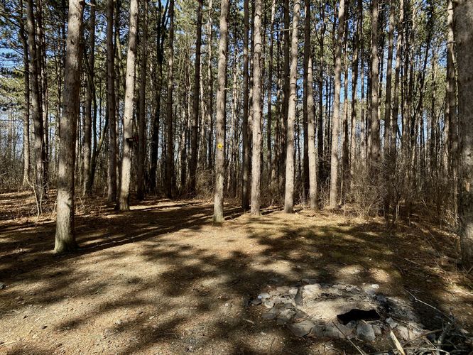
-
View of Spencer Pond
42.401219, -77.007675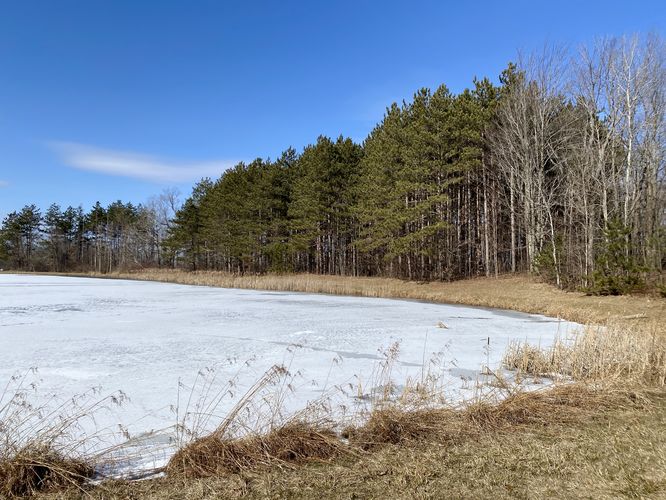
-
View of Spencer Pond
42.400742, -77.008889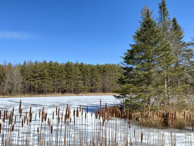
-
View of Spencer Pond
42.400797, -77.009147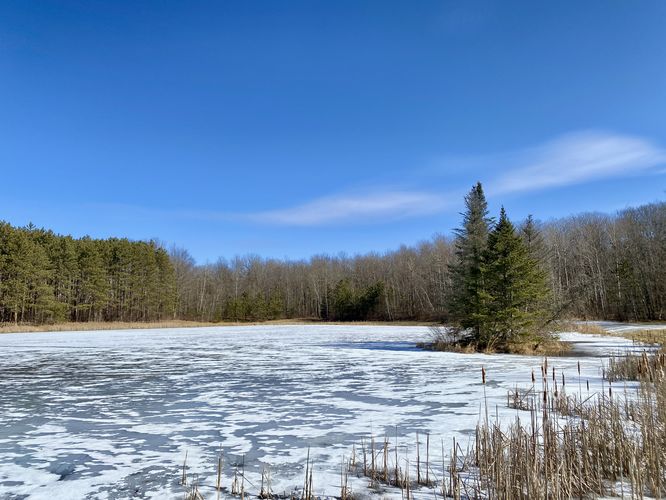
Hazards
Seasons
All
2 Trip Reports


Helpful Links
Find Hiking Trails Near Me:


Before you leave...
MyHikes is an indie web platform aimed to make exploring public trails easier for everyone. The site has no investors and is owned and operated by one person, Dave Miller (Founder & Admin). As the Founder, main contributor, and doer-of-all-things for MyHikes, I share my trips with over-detailed write-ups for fun on a volunteer basis and I believe that public trail information should be available to everyone.
It takes a lot of time 🕦, money 💰, and effort (including espresso shots ☕) to run MyHikes, including hiking , mapping , writing , and publishing new trails with high-quality content... along with building new features, moderating, site maintainance, and app development for iOS and Android . I simply ask that if you find MyHikes' trail guides helpful to please consider becoming a Supporter to help keep the site, iOS, and Android apps available to everyone.
Supporters unlock website and in-app perks with a one-time payment of $25 (you renew) 😎👍. Or you can simply make a Donation of your choice without a MyHikes user account. Otherwise, telling your friends about MyHikes is the next-best thing - both quick and free 🎉
Thanks for visiting MyHikes and have a great hike!️

Dave Miller
MyHikes Founder & Admin

