Veterans Memorial Trail
Distance:
0.6 Miles / 1.0 kmType:
One-WayDifficulty:
EasyTime to Hike:
~18 minutesFeatures:
Surface Type:
DirtLoading...
Loading...
The Veterans Memorial Trail at Greenhorn Park in Yreka, California is an easy 0.6-mile trail that encompasses Greenhorn Reservoir with views of the surrounding mountains.
The trail is smooth with crushed stone and pavement, which also makes it fully accessible. The southern trailhead can be found at the end of Ranch Road where the trail heads north to circle the reservoir. It ends along the Miners Trail, just 0.2-miles from the southern trailhead on the other side of the reservoir.
Views of the surrounding mountains can be found along most of the banks of the reservoir.
Parking: Parking can be found at the coordinates provided; however, you can also park here: 41.712501, -122.656722.
Pets: Dogs are allowed if leashed and their waste must be carried out by the hiker.
Biking: Biking is allowed on this trail.
Hazards
Seasons
All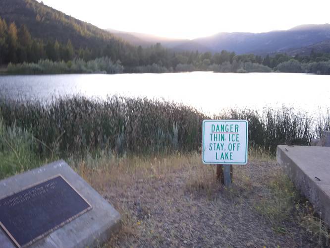
1 Trip Report


Helpful Links
Find Hiking Trails Near Me:


Before you leave...
MyHikes is an indie web platform aimed to make exploring public trails easier for everyone. The site has no investors and is owned and operated by one person, Dave Miller (Founder & Admin). As the Founder, main contributor, and doer-of-all-things for MyHikes, I share my trips with over-detailed write-ups for fun on a volunteer basis and I believe that public trail information should be available to everyone.
It takes a lot of time 🕦, money 💰, and effort (including espresso shots ☕) to run MyHikes, including hiking , mapping , writing , and publishing new trails with high-quality content... along with building new features, moderating, site maintainance, and app development for iOS and Android . I simply ask that if you find MyHikes' trail guides helpful to please consider becoming a Supporter to help keep the site, iOS, and Android apps available to everyone.
Supporters unlock website and in-app perks with a one-time payment of $25 (you renew) 😎👍. Or you can simply make a Donation of your choice without a MyHikes user account. Otherwise, telling your friends about MyHikes is the next-best thing - both quick and free 🎉
Thanks for visiting MyHikes and have a great hike!️

Dave Miller
MyHikes Founder & Admin

