Ridge Trail
Distance:
2.0 Miles / 3.2 kmType:
One-WayDifficulty:
EasyTime to Hike:
1 hourFeatures:
Surface Type:
DirtLoading...
Loading...
The Ridge Trail near Austin Dam Memorial Park in Austin, Pennsylvania is a moderate 2-mile trail to connect the Austin Dam Memorial Park to the Odin Hoxie Trail. This hiking trail transverses across the eastern ridgeline above the Austin Dam Memorial Park to the northeast to the junction with the Odin Hoxie Trail. A favorite of this hike is a side-hill slope journey through an impressive stand of old-growth pine at the woodland draft on the hillside across the highway parking turnout.
Trails
The northern terminus of this hiking trail begins on the ridgeline at the junction with the the Odin Hoxie Trail. The northern section of this track generally follows the ridgeline and treks along state forest boundary lands (borders blazed with white) that are adjoined by private land to the east and to south on this boundary. This tracks follows on a gradually ascending and descending ridgeline that leads to southwest and finishes through an old-growth pine forest as the hiker descends from the high ridge to the parking area along PA Route 872 just north of the Austin Dam Memorial Park.
At the time of this initial publishing, a suitable footpath through an old-growth pine forest is yet to be defined. Additional scouting hikes are needed to track this section of the hike. At it stands, the hike from the southern terminus at the parking area along PA Route 872 up to the ridgeline terminus shown on the map should be considered to be a scramble for a one-half-mile-ascent following the pine forest woodland draft to the ridgeline pathway. Note that the total mileage here (approx. 2-miles) includes this scramble section that was left out of the GPS track.
Parking
Hikers can find parking at the coordinates provided; next to the trailhead, along PA Route 872about one-half-mile north of the Austin Dam Memorial Park. This Ridge Trail connects to the Odin Hoxie Trail.
Pets
Dogs are allowed if leashed.
Camping
Camping is permitted in Austin Dam Memorial Park and also on the state forest lands (borders blazed with white). No suitable campsites were identified along this short connector trail. For dispersed and primitive camping in other areas of the state forest, please follow the state forest rules and regulations and only camp on state lands.
Private Land
The northern section of this trail treks along state forest boundary lands (borders blazed with white) that are adjoined by private land to the east and to south on this boundary. Please respect the land owners and stay on the trail at all times.
-
Parking
41.669885, -78.088566 -
Main Trailhead
41.673365, -78.083171 -
Open Forest (Private)
41.680835, -78.069758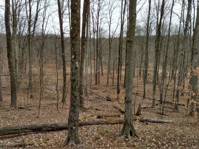
-
Top Of Pine Grove Draft
41.673351, -78.083123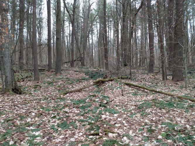
-
Pathway at Top Of Pine Grove Draft
41.673949, -78.080611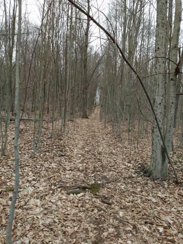
-
Trail Treadway
41.676003, -78.073811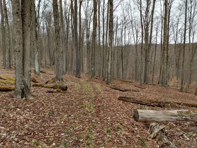
-
Ridge Trail Junction
41.682932, -78.071309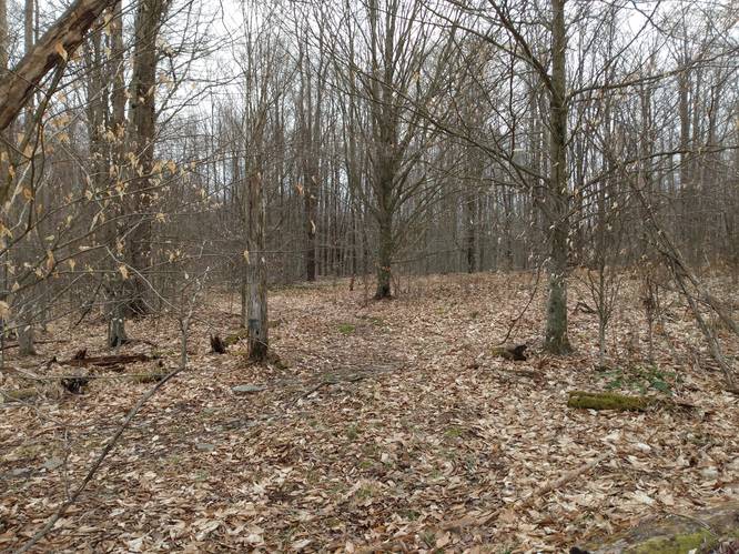
Hazards
Seasons
Spring, Summer, FallBlaze Color
1 Trip Report


Before you leave...
MyHikes is an indie web platform aimed to make exploring public trails easier for everyone. The site has no investors and is owned and operated by one person, Dave Miller (Founder & Admin). As the Founder, main contributor, and doer-of-all-things for MyHikes, I share my trips with over-detailed write-ups for fun on a volunteer basis and I believe that public trail information should be available to everyone.
It takes a lot of time 🕦, money 💰, and effort (including espresso shots ☕) to run MyHikes, including hiking , mapping , writing , and publishing new trails with high-quality content... along with building new features, moderating, site maintainance, and app development for iOS and Android . I simply ask that if you find MyHikes' trail guides helpful to please consider becoming a Supporter to help keep the site, iOS, and Android apps available to everyone.
Supporters unlock website and in-app perks with a one-time payment of $25 (you renew) 😎👍. Or you can simply make a Donation of your choice without a MyHikes user account. Otherwise, telling your friends about MyHikes is the next-best thing - both quick and free 🎉
Thanks for visiting MyHikes and have a great hike!️

Dave Miller
MyHikes Founder & Admin

