Long Pasture Trail
Distance:
0.4 Miles / 0.6 kmType:
One-WayDifficulty:
EasyTime to Hike:
~12 minutesFeatures:
Surface Type:
DirtLoading...
Loading...
The Long Pasture Trail at the Mass Audubon Long Pasture Wildlife Sanctuary in Barnstable, Massachusetts is a 0.4-mile one-way hike that features open meadow views.
Hike Description
This hike begins at the main parking lot for the Long Pasture Wildlife Sanctuary; however, hikers can hop on the trail at either end (parking lot). If hiking from north to south, as in this GPS track, hikers will begin at the main parking lot, then hike through an open field to reach the Long Pasture Trail. Once on the trail, it heads south and passes at least one trail junction along the way. Hikers will pass Buttonbush Swamp before the trail leads into another open meadow where it winds around the western side, crossing a small wooden footbridge over wetland. At the end of the trail hikers can connect to the Beck Family Trail or the Bone Hill Trail.
Fees
As of May 2023, there's a $5/adult fee to walk on the
property. Hikers can pay at self-pay kiosks at other trailheads or they
can pay inside at the Discovery Center.
Parking
Northern parking lot: Hikers
will find a large parking lot at the coordinates provided. The lot is
large enough to accommodate a couple dozen vehicles. Southern parking lot: Hikers will find a small parking lot at the southern end of this trail near the bend in Bone Hill Road.
Pets
Dogs are not allowed on trails here.
Water Source
If the Discovery Center is open, hikers can refill their water bottles inside.
-
Parking
41.709084, -70.275873 -
Main Trailhead
41.709084, -70.275873 -
Right-hand turn (heading south)
41.706669, -70.274383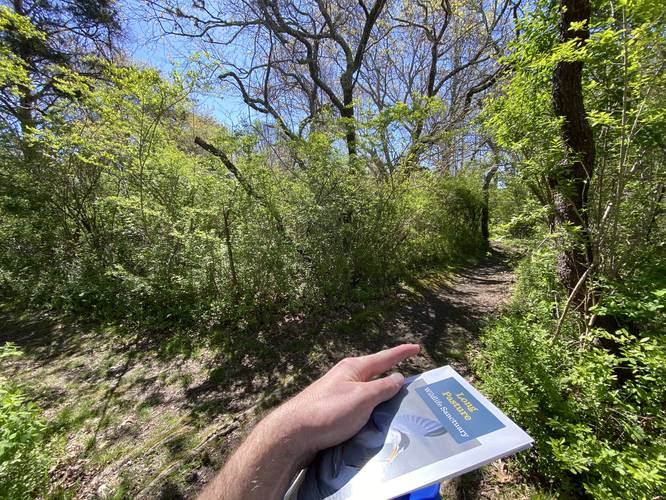
-
Buttonbush Swamp
41.705536, -70.274033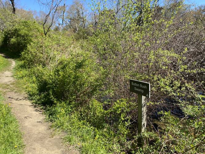
Hazards
Seasons
All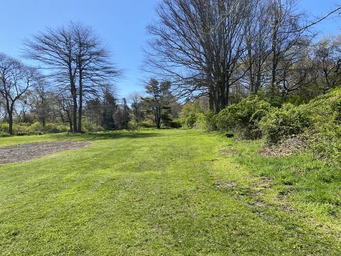
1 Trip Report


Helpful Links
Find Hiking Trails Near Me:


Before you leave...
MyHikes is an indie web platform aimed to make exploring public trails easier for everyone. The site has no investors and is owned and operated by one person, Dave Miller (Founder & Admin). As the Founder, main contributor, and doer-of-all-things for MyHikes, I share my trips with over-detailed write-ups for fun on a volunteer basis and I believe that public trail information should be available to everyone.
It takes a lot of time 🕦, money 💰, and effort (including espresso shots ☕) to run MyHikes, including hiking , mapping , writing , and publishing new trails with high-quality content... along with building new features, moderating, site maintainance, and app development for iOS and Android . I simply ask that if you find MyHikes' trail guides helpful to please consider becoming a Supporter to help keep the site, iOS, and Android apps available to everyone.
Supporters unlock website and in-app perks with a one-time payment of $25 (you renew) 😎👍. Or you can simply make a Donation of your choice without a MyHikes user account. Otherwise, telling your friends about MyHikes is the next-best thing - both quick and free 🎉
Thanks for visiting MyHikes and have a great hike!️

Dave Miller
MyHikes Founder & Admin

