Schneider Farm Spur Trail to McDade Trail
Distance:
0.8 Miles / 1.3 kmType:
Out-and-BackDifficulty:
EasyTime to Hike:
~24 minutesFeatures:
Surface Type:
DirtLoading...
Loading...
The Schneider Farm Spur Trail at the Delware Water Gap National Recreation Area in Dingmans Ferry, Pennsylvania is an easy 0.8 mile out-and-back trail that leads to the McDade Trail in the northern portion of the park.
The gravel trail leads through farm lands with a plethora of wildflowers and is mostly flat. As you hike in, you'll first pass a set of metal barriers meant to keep vehicles out. About 0.2 miles from the metal barriers, you'll find a left-hand turn - this is the McDade Trail. You can continue left or right at the trail junction to continue along the McDade, which passes through more farmlands, forests, and the Delware River.
Parking can be found right off of PA-2028 - look for the large brown sign labeled "McDade Trail" at the parking coordinates provided; however, don't be confused by the several other brown signs labeled "McDade Trail" that are spread miles apart along PA-2028.
Hazards
Seasons
All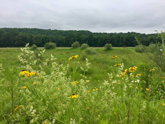
2 Trip Reports


Helpful Links
Find Hiking Trails Near Me:


Before you leave...
MyHikes is an indie web platform aimed to make exploring public trails easier for everyone. The site has no investors and is owned and operated by one person, Dave Miller (Founder & Admin). As the Founder, main contributor, and doer-of-all-things for MyHikes, I share my trips with over-detailed write-ups for fun on a volunteer basis and I believe that public trail information should be available to everyone.
It takes a lot of time 🕦, money 💰, and effort (including espresso shots ☕) to run MyHikes, including hiking , mapping , writing , and publishing new trails with high-quality content... along with building new features, moderating, site maintainance, and app development for iOS and Android . I simply ask that if you find MyHikes' trail guides helpful to please consider becoming a Supporter to help keep the site, iOS, and Android apps available to everyone.
Supporters unlock website and in-app perks with a one-time payment of $25 (you renew) 😎👍. Or you can simply make a Donation of your choice without a MyHikes user account. Otherwise, telling your friends about MyHikes is the next-best thing - both quick and free 🎉
Thanks for visiting MyHikes and have a great hike!️

Dave Miller
MyHikes Founder & Admin

