Robert Frost Trail - Pomeroy Pond
Distance:
0.7 Miles / 1.1 kmType:
One-WayDifficulty:
EasyTime to Hike:
~21 minutesFeatures:
Surface Type:
DirtLoading...
Loading...
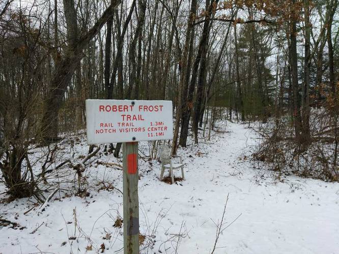
This small section of the Robert Frost Trail is located on Old Belchertown Rd in Amherst, Massachusetts. The trail runs from Old Belchertown Rd, to Pomeroy Pond, and continues on from Wildflower Drive toward Teaberry Lane. From Wildflower Drive, the trail heads south a short ways before it picks back up on the right. This last segment between Wildflower Drive and Teaberry Lane is very short, but runs behind houses on both sides of the trail, so stay on the trail as the adjacent properties are private. To skip this section you can walk across Wildflower Drive and down Teaberry Lane where the trail picks back up.
The trail is marked with red blazes and is popular due to being close to a bus stop and Amherst Woods.
Parking: You can park across from the transfer station.
Hazards
Seasons
AllBlaze Color
Blaze Dot
1 Trip Report


Helpful Links
Find Hiking Trails Near Me:


Before you leave...
MyHikes is an indie web platform aimed to make exploring public trails easier for everyone. The site has no investors and is owned and operated by one person, Dave Miller (Founder & Admin). As the Founder, main contributor, and doer-of-all-things for MyHikes, I share my trips with over-detailed write-ups for fun on a volunteer basis and I believe that public trail information should be available to everyone.
It takes a lot of time 🕦, money 💰, and effort (including espresso shots ☕) to run MyHikes, including hiking , mapping , writing , and publishing new trails with high-quality content... along with building new features, moderating, site maintainance, and app development for iOS and Android . I simply ask that if you find MyHikes' trail guides helpful to please consider becoming a Supporter to help keep the site, iOS, and Android apps available to everyone.
Supporters unlock website and in-app perks with a one-time payment of $25 (you renew) 😎👍. Or you can simply make a Donation of your choice without a MyHikes user account. Otherwise, telling your friends about MyHikes is the next-best thing - both quick and free 🎉
Thanks for visiting MyHikes and have a great hike!️

Dave Miller
MyHikes Founder & Admin

