Ridge Trail
Distance:
0.6 Miles / 1.0 kmType:
One-WayDifficulty:
ModerateTime to Hike:
~18 minutesFeatures:
Surface Type:
DirtLoading...
Loading...
The Ridge Trail at Newton Battlefield State Park near Elmira, New York is a moderate 0.6-mile one-way trail that connects the replica Native American Village to the main parking area and features a peaceful forest setting.
Hike Description
This hike begins at the replica Native American Village in the north section of the park and follows the Ridge Trail as it meanders its way through the northeastern side of the park. Not much to see along this trail, but it passes a couple of other trails along the way including the Six Nations Trail and Baldwin Creek Hill Trail.
The trail is half downhill and half uphill the entire way, making for a good workout, but should be considered moderate as it's more difficult than most of the trails at the park.
Parking
Note that the parking coordinates for this hike bring
visitors to the southern-most parking lot near the entrance to the park.
Pets
Dogs are allowed if leashed and must be cleaned up after.
Biking
Biking appears to be permitted along this trail.
Hazards
Seasons
All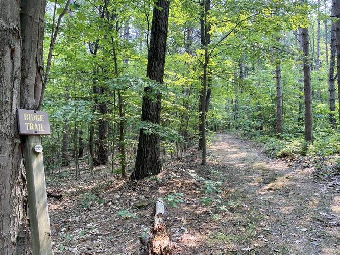
2 Trip Reports


Before you leave...
MyHikes is an indie web platform aimed to make exploring public trails easier for everyone. The site has no investors and is owned and operated by one person, Dave Miller (Founder & Admin). As the Founder, main contributor, and doer-of-all-things for MyHikes, I share my trips with over-detailed write-ups for fun on a volunteer basis and I believe that public trail information should be available to everyone.
It takes a lot of time 🕦, money 💰, and effort (including espresso shots ☕) to run MyHikes, including hiking , mapping , writing , and publishing new trails with high-quality content... along with building new features, moderating, site maintainance, and app development for iOS and Android . I simply ask that if you find MyHikes' trail guides helpful to please consider becoming a Supporter to help keep the site, iOS, and Android apps available to everyone.
Supporters unlock website and in-app perks with a one-time payment of $25 (you renew) 😎👍. Or you can simply make a Donation of your choice without a MyHikes user account. Otherwise, telling your friends about MyHikes is the next-best thing - both quick and free 🎉
Thanks for visiting MyHikes and have a great hike!️

Dave Miller
MyHikes Founder & Admin

