Rattlesnake Knob
Distance:
2.2 Miles / 3.5 kmType:
Out-and-BackDifficulty:
ModerateTime to Hike:
1 hour, ~6 minutesFeatures:
Surface Type:
DirtLoading...
Loading...
The Rattlesnake Knob Trail near Amherst, Masschusetts is a moderate 2.2-mile out-and-back hike from Bay Rd up to Rattlesnake Knob. The trail starts at the trailhead for the Amherst Water Tower Trail.
Follow the blue dot trail (Ken Cuddeback Trail) up and around the water tower. The blue dot merges to the M & M trail near the summit. Just before the summit, taking a left-hand turn heads to the lookout and the End/Start of the blue dot trail, taking a right-hand turn takes you to the visitors center.
This is a very laid back hike and with only one good, but short climb to a great view of Long Mountain.
-
Parking
42.317908, -72.501883 -
Main Trailhead
42.317986, -72.501953 -
Vista from Rattlesnake Knob
42.306815, -72.498906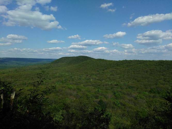
-
Vista from Rattlesnake Knob
42.306732, -72.498888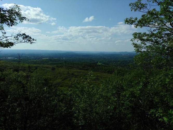
-
View Trail Map
Hiker: TocraHiked on: July 04, 2018Distance: 3.31 miles / 5.3 km
Hazards
Season
Spring
5 Trip Reports


Helpful Links
Find Hiking Trails Near Me:


Before you leave...
MyHikes is an indie web platform aimed to make exploring public trails easier for everyone. The site has no investors and is owned and operated by one person, Dave Miller (Founder & Admin). As the Founder, main contributor, and doer-of-all-things for MyHikes, I share my trips with over-detailed write-ups for fun on a volunteer basis and I believe that public trail information should be available to everyone.
It takes a lot of time 🕦, money 💰, and effort (including espresso shots ☕) to run MyHikes, including hiking , mapping , writing , and publishing new trails with high-quality content... along with building new features, moderating, site maintainance, and app development for iOS and Android . I simply ask that if you find MyHikes' trail guides helpful to please consider becoming a Supporter to help keep the site, iOS, and Android apps available to everyone.
Supporters unlock website and in-app perks with a one-time payment of $25 (you renew) 😎👍. Or you can simply make a Donation of your choice without a MyHikes user account. Otherwise, telling your friends about MyHikes is the next-best thing - both quick and free 🎉
Thanks for visiting MyHikes and have a great hike!️

Dave Miller
MyHikes Founder & Admin

