Pinchot Trail
Distance:
5.6 Miles / 9.0 kmType:
Out-and-BackDifficulty:
EasyTime to Hike:
2 hours, ~48 minutesFeatures:
Surface Type:
DirtLoading...
Loading...
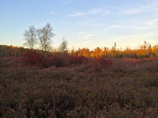
The Pinchot Trail in Pinchot State Forest, PA, is a 26 mile trail that leads through Pinchot State Forest and Lackawanna State Park. This small 5.6 mile out-and-back section of the trail starts by the designated parking area on the state forest's map and heads west along the road before heading further into the forest.
The trail itself is mostly flat while you hike through tall rhododendrons, open areas, and young forests.
We saw a decent amount of cars parked by the trailhead, but we didn't see anyone on the trail, so it's a fairly secluded place once you're out in the woods.
Camping: Camping can be found scarcely off of the trail after about 1 mile into the hike - from the trailhead. Fire pits can be seen from the trail, but the ground can be rocky which makes setting up tents somewhat difficult.
Parking: This recording starts off at the designated parking area on the Lackawanna State Park map, but the parking directions will bring you to a closer parking lot without having to hike down the road. Coordinates for the main parking lot.
Hazards
Seasons
AllBlaze Color

2 Trip Reports


Helpful Links
Find Hiking Trails Near Me:


Before you leave...
MyHikes is an indie web platform aimed to make exploring public trails easier for everyone. The site has no investors and is owned and operated by one person, Dave Miller (Founder & Admin). As the Founder, main contributor, and doer-of-all-things for MyHikes, I share my trips with over-detailed write-ups for fun on a volunteer basis and I believe that public trail information should be available to everyone.
It takes a lot of time 🕦, money 💰, and effort (including espresso shots ☕) to run MyHikes, including hiking , mapping , writing , and publishing new trails with high-quality content... along with building new features, moderating, site maintainance, and app development for iOS and Android . I simply ask that if you find MyHikes' trail guides helpful to please consider becoming a Supporter to help keep the site, iOS, and Android apps available to everyone.
Supporters unlock website and in-app perks with a one-time payment of $25 (you renew) 😎👍. Or you can simply make a Donation of your choice without a MyHikes user account. Otherwise, telling your friends about MyHikes is the next-best thing - both quick and free 🎉
Thanks for visiting MyHikes and have a great hike!️

Dave Miller
MyHikes Founder & Admin

