Mount Holyoke College Upper Lake Loop Trail
Distance:
1.0 Mile / 1.6 kmType:
LoopDifficulty:
EasyTime to Hike:
~30 minutesFeatures:
Surface Type:
Semi-Paved
The Upper Lake Loop Trail at Mount Holyoke College is an easy 1 mile hike that leads along the upper lake. The trail is flat and mostly gravel, with paved sections near parking and along the dorms located off of Park St on the south side of the lake.
The trail is easy to follow as you just need to stay right or stay left to continue following the water, depending on which direction you walk it.
Waterfall: Along the western side of the lake is a dam with the Stony Brook waterfall cascading down, about 12 feet tall, that feeds into Stony Brook.
Dogs are allowed. No biking.
-
Parking
42.259112, -72.571472 -
Main Trailhead
42.258492, -72.571745 -
View / Overlook / Vista
42.258872, -72.568297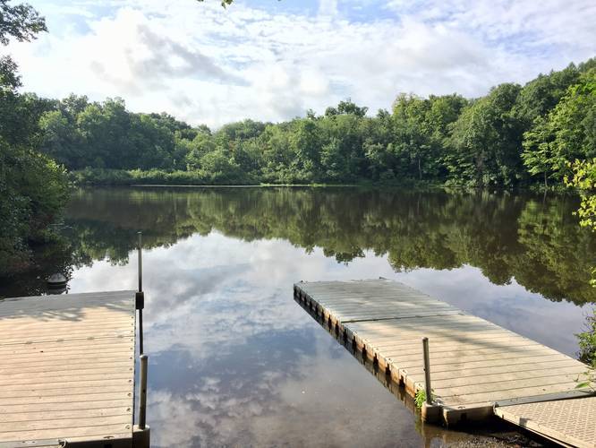
-
Eastern Stony Brook
42.257733, -72.564431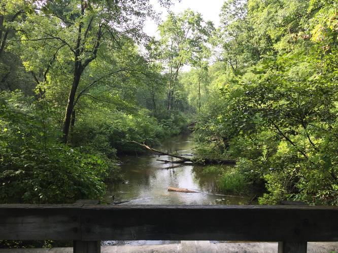
-
Stony Brook Waterfall
42.258258, -72.571206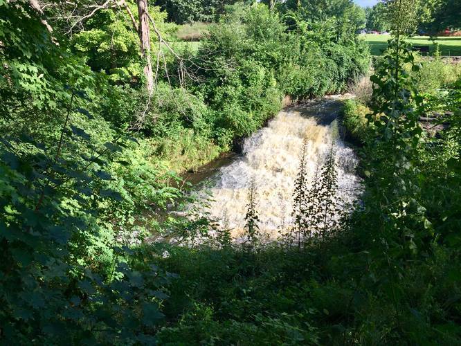
Hazards
Seasons
AllLoading...
Loading...
1 Trip Report


Helpful Links
Find Hiking Trails Near Me:


Before you leave...
MyHikes is an indie web platform aimed to make exploring public trails easier for everyone. The site has no investors and is owned and operated by one person, Dave Miller (Founder & Admin). As the Founder, main contributor, and doer-of-all-things for MyHikes, I share my trips with over-detailed write-ups for fun on a volunteer basis and I believe that public trail information should be available to everyone.
It takes a lot of time 🕦, money 💰, and effort (including espresso shots ☕) to run MyHikes, including hiking , mapping , writing , and publishing new trails with high-quality content... along with building new features, moderating, site maintainance, and app development for iOS and Android . I simply ask that if you find MyHikes' trail guides helpful to please consider becoming a Supporter to help keep the site, iOS, and Android apps available to everyone.
Supporters unlock website and in-app perks with a one-time payment of $25 (you renew) 😎👍. Or you can simply make a Donation of your choice without a MyHikes user account. Otherwise, telling your friends about MyHikes is the next-best thing - both quick and free 🎉
Thanks for visiting MyHikes and have a great hike!️

Dave Miller
MyHikes Founder & Admin

