Long Point Trail
Distance:
3.2 Miles / 5.1 kmType:
Out-and-BackDifficulty:
ModerateTime to Hike:
1 hour, ~36 minutesFeatures:
Surface Type:
DirtLoading...
Loading...
The Long Point Trail at New River Gorge National Park is a moderate 3.2 mile out-and-back hike to one of the best overlook views of the New River Gorge Bridge and New River that West Virginia has to offer.
The overlook, at the end of the trail, is a three-sided cliff that juts out from the mountains and into the valley formed by the New River. Straight ahead is the iconic New River Bridge, the longest steel span bridge in the western hemisphere.
The hike itself is moderate only for the way back. The hike starts out easy. Follow the signs that point toward the Long Point Trail and Long Point Overlook. Once you reach a sign that states "no bikes beyond this point", you know you're getting close. From there, the hike is downhill to the lookout point.
GPS data note: the GPS data provided here was tracked during early September 2017, during the same time that the trail was getting new routes blazed. The GPS data may be slightly off after Sept 2017, but will still get you to the overlook regardless.
-
Parking
38.04153, -81.077988 -
Main Trailhead
38.041769, -81.078089 -
View of the New River Gorge Bridge
38.059656, -81.077392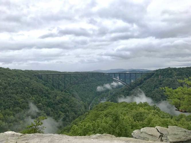
-
New River Gorge Bridge
38.059628, -81.077369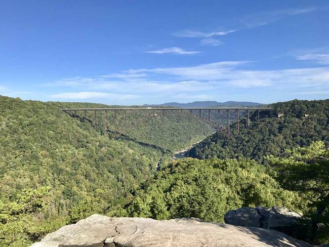
-
View to the southeast of the New River Gorge Bridge
38.059456, -81.077147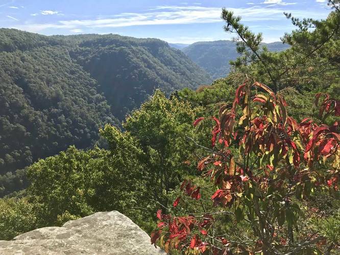
-
View to the southeast of the New River Gorge Bridge
38.0596, -81.077256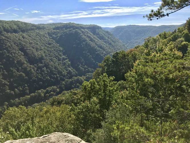
Hazards
Season
Summer

3 Trip Reports


Helpful Links
Find Hiking Trails Near Me:


")
Before you leave...
MyHikes is an indie web platform aimed to make exploring public trails easier for everyone. The site has no investors and is owned and operated by one person, Dave Miller (Founder & Admin). As the Founder, main contributor, and doer-of-all-things for MyHikes, I share my trips with over-detailed write-ups for fun on a volunteer basis and I believe that public trail information should be available to everyone.
It takes a lot of time 🕦, money 💰, and effort (including espresso shots ☕) to run MyHikes, including hiking , mapping , writing , and publishing new trails with high-quality content... along with building new features, moderating, site maintainance, and app development for iOS and Android . I simply ask that if you find MyHikes' trail guides helpful to please consider becoming a Supporter to help keep the site, iOS, and Android apps available to everyone.
Supporters unlock website and in-app perks with a one-time payment of $25 (you renew) 😎👍. Or you can simply make a Donation of your choice without a MyHikes user account. Otherwise, telling your friends about MyHikes is the next-best thing - both quick and free 🎉
Thanks for visiting MyHikes and have a great hike!️

Dave Miller
MyHikes Founder & Admin

