Little Tinker via Glenna Bell Trail
Distance:
3.1 Miles / 5.0 kmType:
LoopDifficulty:
ModerateTime to Hike:
1 hour, ~33 minutesFeatures:
Surface Type:
DirtLoading...
Loading...
The Glenna Bell Trail to Little Tinker is located on Chmura rd in Amherst MA. As with many of the trails on this section of the Holyoke Range, a map and phone app is recommended.
From the parking lot, take the the first trail head to the right, follow this unmarked trail upwards until the first intersection 0.2 miles in. From here take a left and head south into a small valley at the base of Little Tinker, there is a small stream at the base and the valley offers a wonderful view during any season. The trail turns right over the stream across a small bridge and heads north along the opposite side of the valley. There is a trail to the left that cuts back the valley you came in on as well, this is the Margin Call trail which loops back to the parking lot.
Continue on north after the bridge for 0.4 miles, there will be a trail to the right leading a small reservoir, this is Beary's Trail. There are a series of other trails leading off to the right over the next 0.3 miles, keep to the Glenna Bell and your route to the summit. The summit is roughly a half mile beyond Beary's Trail.
The summit offers some views of the Holyoke Range and Hadley but likely only during leafless seasons.
Descend down Little Tinker for 0.6 miles until you reach the first trail junctions. This is where a map comes in handy. The most straight forward route back down to the parking lot is to continue on to the Tricky Turn Trail and down the access trail, this appears on maps to be a general straight shot but with all the intersections, it is easy to step onto the wrong trail.
Parking: Parking can be found at the end of Chmura Rd.
Hazards
Seasons
All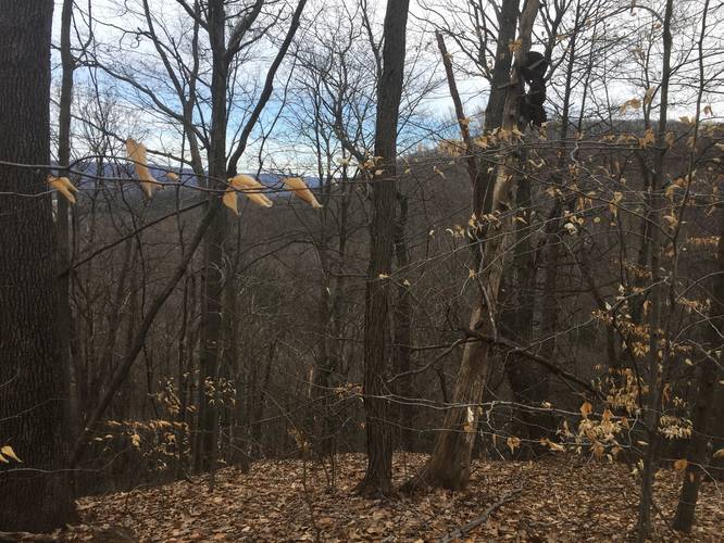
1 Trip Report


Helpful Links
Find Hiking Trails Near Me:


")
Before you leave...
MyHikes is an indie web platform aimed to make exploring public trails easier for everyone. The site has no investors and is owned and operated by one person, Dave Miller (Founder & Admin). As the Founder, main contributor, and doer-of-all-things for MyHikes, I share my trips with over-detailed write-ups for fun on a volunteer basis and I believe that public trail information should be available to everyone.
It takes a lot of time 🕦, money 💰, and effort (including espresso shots ☕) to run MyHikes, including hiking , mapping , writing , and publishing new trails with high-quality content... along with building new features, moderating, site maintainance, and app development for iOS and Android . I simply ask that if you find MyHikes' trail guides helpful to please consider becoming a Supporter to help keep the site, iOS, and Android apps available to everyone.
Supporters unlock website and in-app perks with a one-time payment of $25 (you renew) 😎👍. Or you can simply make a Donation of your choice without a MyHikes user account. Otherwise, telling your friends about MyHikes is the next-best thing - both quick and free 🎉
Thanks for visiting MyHikes and have a great hike!️

Dave Miller
MyHikes Founder & Admin

