Ken Cuddeback Trail Potwine Ln
Distance:
1.1 Miles / 1.8 kmType:
One-WayDifficulty:
EasyTime to Hike:
~33 minutesFeatures:
Surface Type:
DirtLoading...
Loading...
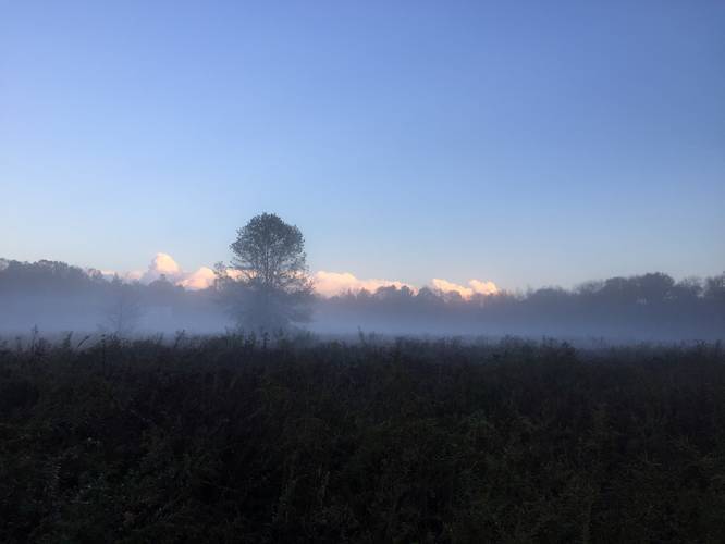
This section of the Ken Cuddeback Trail in Amherst, Massachusetts an easy 1.1-mile out-way located off of Potwine Lane and runs to Middle Street in Amherst.
This trail should be considered easy but is very wet during both Spring
and Fall seasons, which can make the hike a bit more challenging. There are several bridges and planks but many sections
of the trail do not include these. The trail crosses several small tributaries that flow
from Plum Brook. Deer and turkey activity is high in this area as well.
Hunting is allowed in part of the middle portion of this trail and in
the field to the east (Simmons Farm Conservation Area), so wearing blaze-orange is advised.
Parking: Parking consists of pulling to the side of the road - there's no official parking lot.
Hazards
Seasons
AllBlaze Dot

1 Trip Report


Helpful Links
Find Hiking Trails Near Me:


Before you leave...
MyHikes is an indie web platform aimed to make exploring public trails easier for everyone. The site has no investors and is owned and operated by one person, Dave Miller (Founder & Admin). As the Founder, main contributor, and doer-of-all-things for MyHikes, I share my trips with over-detailed write-ups for fun on a volunteer basis and I believe that public trail information should be available to everyone.
It takes a lot of time 🕦, money 💰, and effort (including espresso shots ☕) to run MyHikes, including hiking , mapping , writing , and publishing new trails with high-quality content... along with building new features, moderating, site maintainance, and app development for iOS and Android . I simply ask that if you find MyHikes' trail guides helpful to please consider becoming a Supporter to help keep the site, iOS, and Android apps available to everyone.
Supporters unlock website and in-app perks with a one-time payment of $25 (you renew) 😎👍. Or you can simply make a Donation of your choice without a MyHikes user account. Otherwise, telling your friends about MyHikes is the next-best thing - both quick and free 🎉
Thanks for visiting MyHikes and have a great hike!️

Dave Miller
MyHikes Founder & Admin

