Jan Dizard Loop Trail
Distance:
1.1 Miles / 1.8 kmType:
LoopDifficulty:
EasyTime to Hike:
~33 minutesFeatures:
Surface Type:
DirtLoading...
Loading...
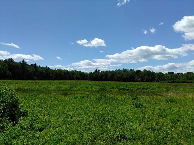
The Jan Dizard Loop Trail is an easy 1.1 mile hike located within Lawrence Swamp in Amherst, Massachusetts. There's a small area for parking (one or two cars) by the trailhead on Station Rd next to the creek.
You first start off by following the orange blazes of the Robert Frost Trail 0.15 miles into the woods where it merges with the Jan Dizard Loop. The loop trail is marked by red blazes and can be slightly confusing since it's next to the Robert Frost Trail's orange blazes.
The trail gently winds through the woods along Hop Brook and loops back by old farm fields. This is indeed a swamp, even during a drought season it is still wet and buggy, but still pleasant.
Hazards
Seasons
AllBlaze Dot
1 Trip Report


Helpful Links
Find Hiking Trails Near Me:


Before you leave...
MyHikes is an indie web platform aimed to make exploring public trails easier for everyone. The site has no investors and is owned and operated by one person, Dave Miller (Founder & Admin). As the Founder, main contributor, and doer-of-all-things for MyHikes, I share my trips with over-detailed write-ups for fun on a volunteer basis and I believe that public trail information should be available to everyone.
It takes a lot of time 🕦, money 💰, and effort (including espresso shots ☕) to run MyHikes, including hiking , mapping , writing , and publishing new trails with high-quality content... along with building new features, moderating, site maintainance, and app development for iOS and Android . I simply ask that if you find MyHikes' trail guides helpful to please consider becoming a Supporter to help keep the site, iOS, and Android apps available to everyone.
Supporters unlock website and in-app perks with a one-time payment of $25 (you renew) 😎👍. Or you can simply make a Donation of your choice without a MyHikes user account. Otherwise, telling your friends about MyHikes is the next-best thing - both quick and free 🎉
Thanks for visiting MyHikes and have a great hike!️

Dave Miller
MyHikes Founder & Admin

