Glenna Bell Loop
Distance:
1.4 Miles / 2.3 kmType:
LoopDifficulty:
EasyTime to Hike:
~42 minutesFeatures:
Surface Type:
DirtLoading...
Loading...
The Glenna Bell Trail is an easy 1.4 mile loop hike located in Hadley, Massachusetts on Chmura Rd. The road ends with a large turn around/parking area with several unmarked trailheads leading up to the Holyoke Range. The road itself appears to turn into a dirt road leading towards Hadley Reservoir.
Simply put, the trail system here is a mess and should only be explored with maps from sites with some trail data. There are more twists, turns and offshoots, its very easy to get lost or turned around even with a map. While exploring I only saw a handful of blazes whiles coming down the College Road Trail and they were inconsistent at best.
This recording takes the first right after entering the dirt road Chmura Road turns into. The trail follows upward along a wide trail to a junction 0.15 miles in. From here, the Glenna Bell Trail crosses the intersection left to right - take the right-hand turn and follow the trail as it skirts the side of a small valley with a brook. The valley provides a wonderful view of the opposite ridge to take in the full effect of the drainage. After roughly 0.15 miles from the junction, there is a small bridge over the brook where the trail cuts across the ridge opposite the one you entered on. According to maps, there is a left turn trail out of this valley before the bridge but there is no indication of one along the slope and is frankly too steep to blaze one. The true trail splits at the bridge and turns left heading back the way you came at a sharp angle. This trail is called the Margin Call Trail and provides a wide switchback back up the ridge and out of the valley.
After 0.25 miles the Margin Call Trail spits you out onto the College Road Trail and according to some maps, another portion of the Glenna Bell Trail. From here, turn left and head north down the College Road Trail. The College road trail merges in and out with several other trails including the Tinker Toy and the Glenna Bell Trail. The trail head is roughly 0.5 miles down the hill. There are several left and right turn trails, some of which lead right back to the main trail, others are much wider loops. My best advice is to keep as straight as possible, any trail the begins to turn drastically should be ignored.
Upon looking at several maps, the least confusing route would be to cross the College Road Trail at the end of the Margin Call Trail and continue on to the Tinker Trail for 0.1 miles. From there turn left (north) down the Tricky Turn Trail. Continue on the Tricky Turn Trail for 0.2 miles until a another left turn appears, this will be a wide very straight trail heading north down the hill, this will spit you out to the trailhead.
Dogs and biking are both allowed on this trail.
Hazards
Seasons
All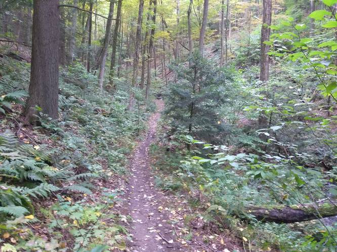
1 Trip Report


Helpful Links
Find Hiking Trails Near Me:


Before you leave...
MyHikes is an indie web platform aimed to make exploring public trails easier for everyone. The site has no investors and is owned and operated by one person, Dave Miller (Founder & Admin). As the Founder, main contributor, and doer-of-all-things for MyHikes, I share my trips with over-detailed write-ups for fun on a volunteer basis and I believe that public trail information should be available to everyone.
It takes a lot of time 🕦, money 💰, and effort (including espresso shots ☕) to run MyHikes, including hiking , mapping , writing , and publishing new trails with high-quality content... along with building new features, moderating, site maintainance, and app development for iOS and Android . I simply ask that if you find MyHikes' trail guides helpful to please consider becoming a Supporter to help keep the site, iOS, and Android apps available to everyone.
Supporters unlock website and in-app perks with a one-time payment of $25 (you renew) 😎👍. Or you can simply make a Donation of your choice without a MyHikes user account. Otherwise, telling your friends about MyHikes is the next-best thing - both quick and free 🎉
Thanks for visiting MyHikes and have a great hike!️

Dave Miller
MyHikes Founder & Admin

