Gate 39 - Camels Hump Hill Loop
Distance:
3.5 Miles / 5.6 kmType:
LoopDifficulty:
EasyTime to Hike:
1 hour, ~45 minutesFeatures:
Surface Type:
Dirt
Gate 39 - Camels Hump Hill Loop at Quabbin Reservoir near Petersham, Massachusetts is a moderate 3.5-mile loop hike that visits the old road adjacent to Camels Hump Hill and also features several beaver dam crossings and a view from the powerlines.
Trails
This hike follow several old roads within Quabbin including Whitney Hill Rd, Camels Hump Rd, and Doubleday Rd.
Hike Description
This hike begins at Gate 39 at the end of Dugway Rd and follows Whitney Hill Rd west for 0.2-miles before turning right onto Camels Hump Rd (39-1). The trail then follows Camels Hump Rd headed for Camels Hump Hill. Along the way, hikers will find numerous property plots outlined with rock walls. These are all old property plots within the lost town of Dana, Massachusetts. The recording stops after 0.8-miles adjacent to Camels Hump Hill before heading back to hike south toward Doubleday Road.
At Doubleday Road take a right-hand turn (as of December 2021, look for the white and red "<-- Exit" sign located on a tree at Doubleday Road). Along Doubleday Road are more old properties, but they're a bit more interesting. One property appears to have a very long driveway with rock walls lining it. Across the road from that driveway is a property with a staircase leading uphill to what is now nowhere.
First Beaver Dam Crossing - Mile 1.6
At mile 1.6 is the first beaver pond with a beaver dam that requires crossing. Luckily, hikers can cross below the beaver dam and not on top of it. Based on the flow of water, the land below the beaver dam may be very wet with minimal ways to cross this.
Second Beaver Dam Crossing - Mile 2
At mile 2, the second beaver dam crossing can be found. This lasts for no longer than 0.1-miles at best and is similar to the 1st beaver dam crossing.
Third Beaver Dam Crossing - Mile 2.1 - 2.2
The last beaver dam crossing can be found around mile 2.1 and lasts for approximately 0.1-miles. This one is a bit annoying as hikers need to head into the woods to circumnavigate the dam.
After passing the last beaver dam, the trail will reach a junction with Doubleday Road - around mile 2.25 - and an unnamed road. Take a left-hand turn here to continue onward. Hike this unnamed road for a short while before taking another left-hand turn onto Whitney Hill Rd - around mile 2.65.
Powerline Vista - Mile 3.2
Around mile 3.2 is the last point of interest for this hike - the powerline vista. Hikers will want to head off-trail for a short walk to find a nice view at the top of the hill located within the powerlines.
After the powerlines, the hike heads east along Whitney Hill Rd and finally ends with a total of 3.5-miles.
Pets
Dogs are not allowed at Quabbin, please leave them at home.
Parking
Hikers will find parking at the end of Dugway Road in Petersham, MA. Please note the last 0.1-miles of the road is steep, rocky, and rutted. There's a small parking turnout before the gate, large enough to fit 1 vehicle. Please do not block the gate or park on private property.
-
Parking
42.462277, -72.219631 -
Main Trailhead
42.462279, -72.220393 -
Right-hand turn to Camels Hump Rd
42.461344, -72.223433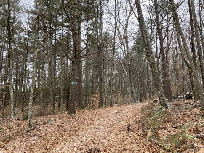
-
Old property plots
42.465503, -72.226967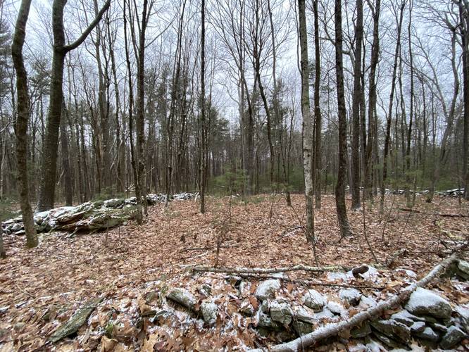
-
Looking toward Camels Hump Hill summit
42.470867, -72.226067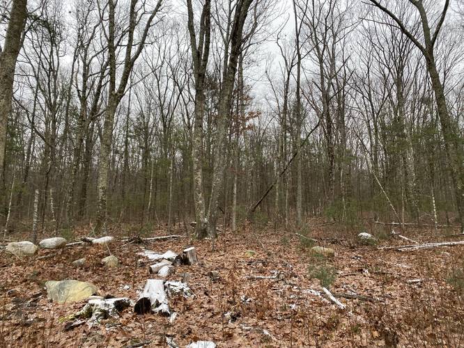
-
Old property with rockwalls - likely a driveway
42.4647, -72.227906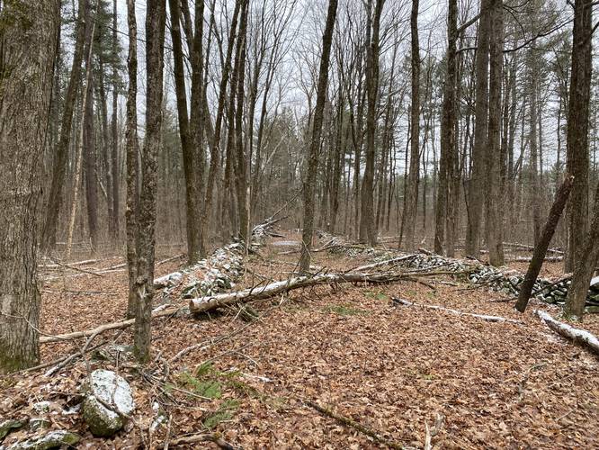
-
Old property with staircase
42.464625, -72.228164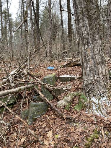
-
Scenic pond with beaver hut
42.463792, -72.230736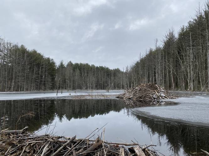
-
Old cellar for a house
42.462822, -72.232947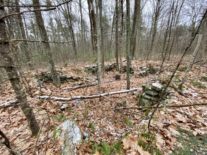
-
Scenic beaver pond #2
42.462239, -72.234131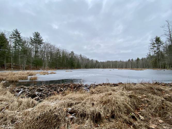
-
Left-hand turn from Doubleday Road onto unnamed road
42.460108, -72.235328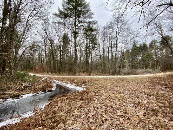
-
Left-hand turn along Whitney Hill Rd
42.455619, -72.231872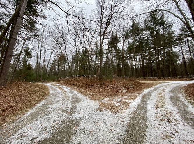
-
View facing north along powerlines
42.461083, -72.225128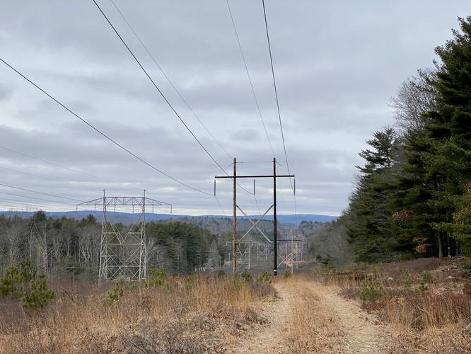
Hazards
Seasons
AllLoading...
Loading...
1 Trip Report


Helpful Links
Find Hiking Trails Near Me:


Before you leave...
MyHikes is an indie web platform aimed to make exploring public trails easier for everyone. The site has no investors and is owned and operated by one person, Dave Miller (Founder & Admin). As the Founder, main contributor, and doer-of-all-things for MyHikes, I share my trips with over-detailed write-ups for fun on a volunteer basis and I believe that public trail information should be available to everyone.
It takes a lot of time 🕦, money 💰, and effort (including espresso shots ☕) to run MyHikes, including hiking , mapping , writing , and publishing new trails with high-quality content... along with building new features, moderating, site maintainance, and app development for iOS and Android . I simply ask that if you find MyHikes' trail guides helpful to please consider becoming a Supporter to help keep the site, iOS, and Android apps available to everyone.
Supporters unlock website and in-app perks with a one-time payment of $25 (you renew) 😎👍. Or you can simply make a Donation of your choice without a MyHikes user account. Otherwise, telling your friends about MyHikes is the next-best thing - both quick and free 🎉
Thanks for visiting MyHikes and have a great hike!️

Dave Miller
MyHikes Founder & Admin

