Raven Ridge Trail
Distance:
2.9 Miles / 4.7 kmType:
One-WayDifficulty:
EasyTime to Hike:
1 hour, ~27 minutesFeatures:
Surface Type:
DirtLoading...
Loading...
The Raven Ridge Trail in the Dolly Sods Wilderness within the Monongahela National Forest in West Virginia is an easy to moderate 2.9 mile one-way trail that connects to the Rocky Ridge Trail, Beaver View Trail, Bear Rocks Trail, and the Dobbin Grade Trail.
This recording starts at the Rocky Ridge Trail's northern terminus and heads south along the Raven Ridge and the hike is mostly all downhill, hence the easy difficulty; however, if you're hiking up Raven Ridge, it'll be more of a moderate hike until the trail levels out.
Lookout points: Starting at the northern trailhead, you'll find a lookout point that faces southwest into Dolly Sods at mile 0.7. At mile 1.25 you'll find the trailhead for the Beaver View Trail, which also has views facing east into Dolly Sods towards the Bear Rocks Trail. Just 0.2 miles beyond there is the trailhead for the Bear Rocks Trail. The last section of views can be found near the southern terminus where the trail leads into the open valley near Red Creek.
Water Source: Water can be found at the southern terminus to the east where Red Creek cuts through the valley.
Campsites can be found along the trail both north and south of the trail junctions for the Beaver View Trail and Bear Rocks Trail.
Warning: Dolly Sods was used for military bombing training during WWII and there are still unexploded ordinances in the ground out in the wilderness. Most of these trails and the areas around them have been combed and searched, but not everything has been found. If you find any strange metal objects, especially bomb-shaped, do not tamper with them. Make a note of where you found it and alert the proper authorities. More information can be found at the wilderness trailheads.
Dolly Sods trail map PDF
-
Parking
39.063615, -79.303154 -
Main Trailhead
39.072206, -79.363767 -
Campsite
39.071256, -79.358117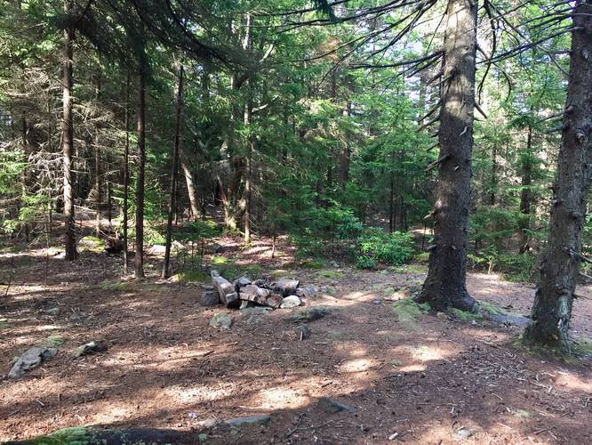
-
View south into Dolly Sods
39.070378, -79.352797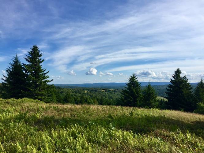
-
View / Overlook / Vista
39.068364, -79.34935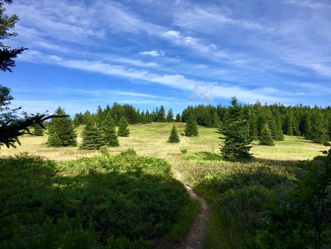
-
Next to the Beaver View Trail
39.065547, -79.345719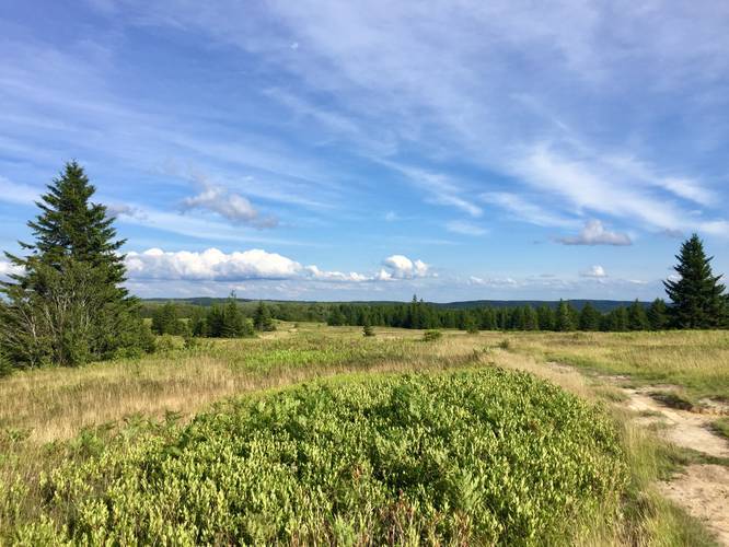
-
Campsite
39.067619, -79.346694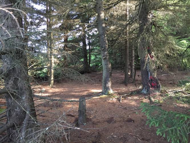
-
Point-of-Interest
39.059075, -79.33787_20180801020751UTC_small.JPG)
Hazards
Seasons
Spring, Summer, Fall
2 Trip Reports


")


Before you leave...
MyHikes is an indie web platform aimed to make exploring public trails easier for everyone. The site has no investors and is owned and operated by one person, Dave Miller (Founder & Admin). As the Founder, main contributor, and doer-of-all-things for MyHikes, I share my trips with over-detailed write-ups for fun on a volunteer basis and I believe that public trail information should be available to everyone.
It takes a lot of time 🕦, money 💰, and effort (including espresso shots ☕) to run MyHikes, including hiking , mapping , writing , and publishing new trails with high-quality content... along with building new features, moderating, site maintainance, and app development for iOS and Android . I simply ask that if you find MyHikes' trail guides helpful to please consider becoming a Supporter to help keep the site, iOS, and Android apps available to everyone.
Supporters unlock website and in-app perks with a one-time payment of $25 (you renew) 😎👍. Or you can simply make a Donation of your choice without a MyHikes user account. Otherwise, telling your friends about MyHikes is the next-best thing - both quick and free 🎉
Thanks for visiting MyHikes and have a great hike!️

Dave Miller
MyHikes Founder & Admin

