Cow Pasture Trail to Parking
Distance:
1.2 Miles / 1.9 kmType:
One-WayDifficulty:
EasyTime to Hike:
~36 minutesFeatures:
Surface Type:
DirtLoading...
Loading...
This 1.2 mile point-to-point trail at the Cranberry Wilderness in Hillsboro, West Virginia leads from the Cranberry Glades parking to the northern terminus of the Cow Pasture Trail (or vice versa). I started tracking this right outside of the end of the Cow Pasture Trail, but this trail goes much further north and runs through the entire Cranberry Wilderness.
Nothing special or interesting to see; however, this road has a gate ~0.5 miles south of the northern terminus for the Cow Pasture Trail. There's also a parking lot right at that gate.
Camping: There are backpacking shelters along this trail too, just 1.5 miles north of the Cow Pasture Trail. If you plan to go beyond the Cow Pasture Trail, you'll need to do so on foot.
Trail Map: For further details, check out this Cranberry Wilderness trail map PDF.
Hazards
Season
Spring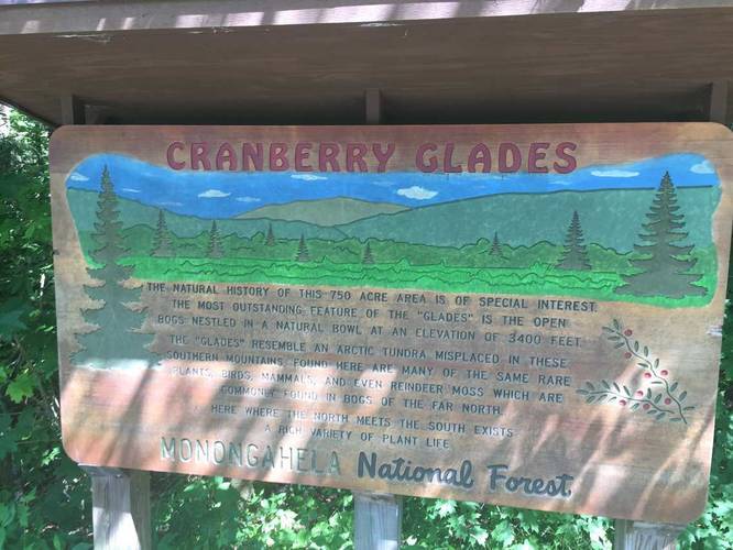
2 Trip Reports


Before you leave...
MyHikes is an indie web platform aimed to make exploring public trails easier for everyone. The site has no investors and is owned and operated by one person, Dave Miller (Founder & Admin). As the Founder, main contributor, and doer-of-all-things for MyHikes, I share my trips with over-detailed write-ups for fun on a volunteer basis and I believe that public trail information should be available to everyone.
It takes a lot of time 🕦, money 💰, and effort (including espresso shots ☕) to run MyHikes, including hiking , mapping , writing , and publishing new trails with high-quality content... along with building new features, moderating, site maintainance, and app development for iOS and Android . I simply ask that if you find MyHikes' trail guides helpful to please consider becoming a Supporter to help keep the site, iOS, and Android apps available to everyone.
Supporters unlock website and in-app perks with a one-time payment of $25 (you renew) 😎👍. Or you can simply make a Donation of your choice without a MyHikes user account. Otherwise, telling your friends about MyHikes is the next-best thing - both quick and free 🎉
Thanks for visiting MyHikes and have a great hike!️

Dave Miller
MyHikes Founder & Admin

