Bear Run Trail Waterfalls
Distance:
1.9 Miles / 3.1 kmType:
Out-and-BackDifficulty:
EasyTime to Hike:
~57 minutesFeatures:
Surface Type:
DirtLoading...
Loading...
The Bear Run Trail Waterfalls at Tioga State Forest near Arnot and Wellsboro, Pennsylvania is an easy 1.8-mile out-and-back hike that leads up to a few short but beautiful waterfalls that cascade down Bear Run. Please note that Tioga State Forest has two "Bear Run Trails" - this trail lies in the eastern section of the state forest; however, there is another Bear Run Trail (aka Bear Run Nature Trail) in the western side of the state forest next to the Pennsylvania Grand Canyon and Colton Point State Park.
The hike begins by heading up a small hill from the trailhead, passing a campsite immediately to the right-hand side, and then continues further along the creek. The trail's elevation grade is easy to moderate, at best, making this an easy hike for all skill levels.
Hikers do not need to walk very far to find the waterfalls, only about 0.4-miles one-way to reach them, but the rest of the trail is scenic as well with cliffs across the creek and plenty of smaller stream cascades.
The trail continues on at a creek crossing around 0.9-miles in, which is where we ended up turning around. It's unclear if any more waterfalls exist beyond this point, but if you plan to cross the creek, you will get your feet wet as it's about 1-foot deep without any easy crossing points.
Waterfalls
There are two main waterfalls worth viewing along this trail. Both of the main waterfalls can be seen in under 0.4-miles of hiking one-way, making this an easy 0.8-mile out-and-back hike for those who do not wish to hike further than the two main falls.
Parking
Hikers can find a small parking turnout at the coordinates provided.
History
At the parking area is a large stone with a plaque dedicated to the Village of Landrus (1882 - 1915). This plaque also commemorates what was the world's first electric coal mine. The monument was erected in 1994 by the Tioga Historical Society and Friends.
Pets
Dogs are allowed if leashed.
Blaze Color
This trail follows red blazes.
Winter Road Conditions (Warning)
The state forest does not maintain this road during the winter and hence the road can be full of snow and ice - winter tires or chains are a must-have on this road. The road also runs along a mountainside with very steep drop-offs in some sections. There's also no cellphone service for miles. The trailhead sits in the middle of this state forest road, so no matter which way you drive in from (Arnot, PA or Morris, PA) you will have to deal with a very skinny road that runs along a mountainside; however, there are plenty of turnouts along the road in case you encounter another vehicle.
Warning
Rattlesnakes: While rare, the Timber Rattlesnake lives in this area and tends to come down to
creeks to cool down or hunt between the end of April through the end of
September. Watch your step and give any rattlesnake you see some space.
-
Parking
41.641966, -77.207067 -
Main Trailhead
41.641823, -77.207046 -
Campsite
41.641486, -77.207261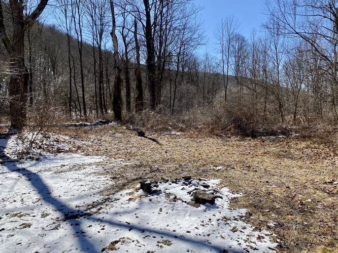
-
2nd Waterfall
41.640144, -77.204383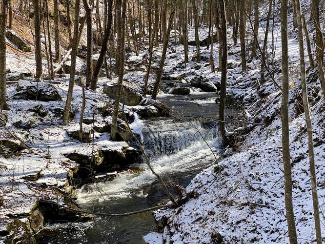
-
Trail crosses the creek about 1 foot deep
41.635731, -77.197358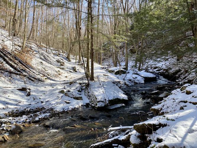
-
Small waterfalls next to the creek crossing
41.635733, -77.19735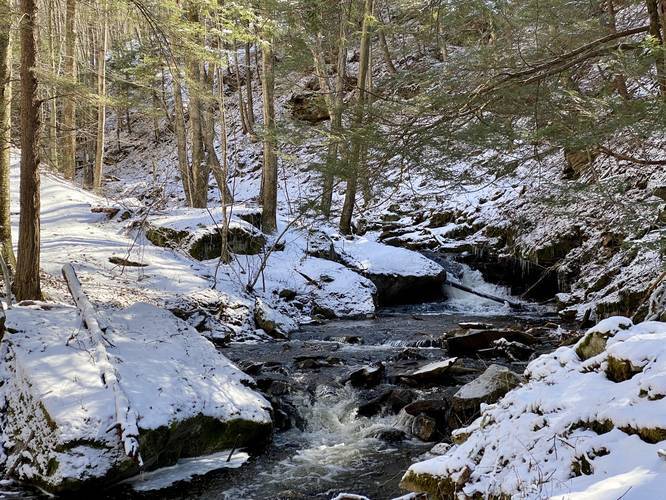
-
1st waterfall
41.640442, -77.204422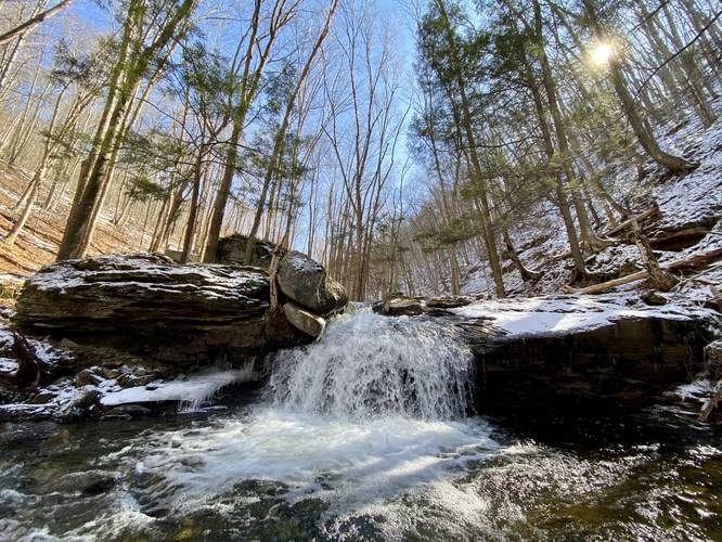
Hazards
Seasons
AllBlaze Color
2 Trip Reports


Helpful Links
Find Hiking Trails Near Me:


Before you leave...
MyHikes is an indie web platform aimed to make exploring public trails easier for everyone. The site has no investors and is owned and operated by one person, Dave Miller (Founder & Admin). As the Founder, main contributor, and doer-of-all-things for MyHikes, I share my trips with over-detailed write-ups for fun on a volunteer basis and I believe that public trail information should be available to everyone.
It takes a lot of time 🕦, money 💰, and effort (including espresso shots ☕) to run MyHikes, including hiking , mapping , writing , and publishing new trails with high-quality content... along with building new features, moderating, site maintainance, and app development for iOS and Android . I simply ask that if you find MyHikes' trail guides helpful to please consider becoming a Supporter to help keep the site, iOS, and Android apps available to everyone.
Supporters unlock website and in-app perks with a one-time payment of $25 (you renew) 😎👍. Or you can simply make a Donation of your choice without a MyHikes user account. Otherwise, telling your friends about MyHikes is the next-best thing - both quick and free 🎉
Thanks for visiting MyHikes and have a great hike!️

Dave Miller
MyHikes Founder & Admin

